
Time zone UTC-3 (UTC-3) Elevation 8 m Population 12,377 (2008) | Settled August 12, 1892 HDI (2000) 0.775 – medium Area 1,242 km² Local time Tuesday 10:37 PM | |
 | ||
Weather 25°C, Wind SE at 6 km/h, 80% Humidity Points of interest Ilha do Cardoso, Museu Municipal de Cananeia | ||
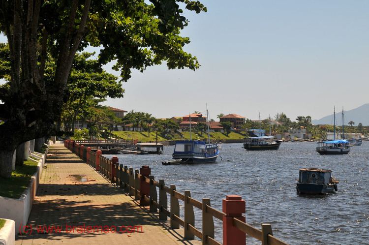
Seaside city of canan ia
Cananéia is the southernmost city in the state of São Paulo, Brazil, near to where the Tordesilhas Line passed. The population in 2008 was 12,377 and the area is 1,242.010 km². The elevation is 8 m. The city of Cananéia is host to the Dr. João de Paiva Carvalho research base belonging to the Oceanographic Institute of the University of São Paulo.
Contents
Map of Canan%C3%A9ia, State of S%C3%A3o Paulo, Brazil
Conservation
The municipality contains the 13,500 hectares (33,000 acres) Ilha do Cardoso State Park, created in 1962. It contains part of the Tupiniquins Ecological Station. It contains the 1,176 hectares (2,910 acres) Mandira Extractive Reserve, established in 2002. The municipality contains the 1,662 hectares (4,110 acres) Taquari Extractive Reserve, created in 2008. It contains the 1,128 hectares (2,790 acres) Ilha do Tumba Extractive Reserve, also created in 2008. It contains the 1,243 hectares (3,070 acres) Itapanhapima Sustainable Development Reserve, created at the same time.