
Elevation 445 m (1,460 ft) Time zone CET (UTC+1) Postal code 95040 Dialling code 095 | Frazioni Piano Tavola Demonym(s) Camporotondesi Area 6.4 km² Local time Tuesday 5:50 PM | |
 | ||
Weather 9°C, Wind W at 35 km/h, 67% Humidity | ||
Camporotondo Etneo (Sicilian: Campurutunnu Etneu) is a comune (municipality) in the Province of Catania in the Italian region Sicily, located about 160 km (99 mi) southeast of Palermo and about 8 km (5 mi) northwest of Catania. As of 31 December 2010, it had a population of 4,464 and an area of 6.4 km2 (2.5 sq mi).
Contents
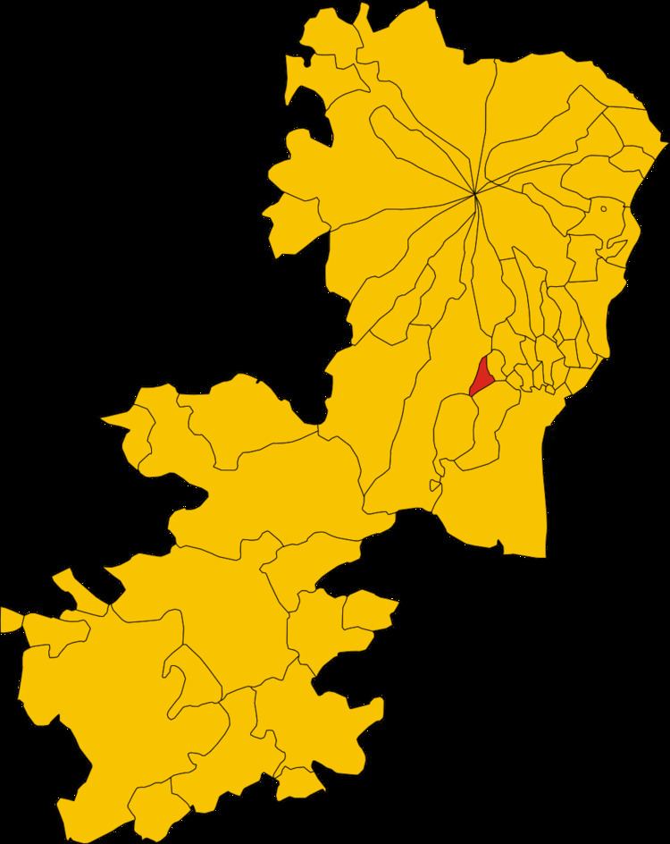
Map of 95040 Camporotondo Etneo Province of Catania, Italy
History
The historical origins of the comune of Camporotondo Etneo go back to the 17th century when the marquise Diego Reitano obtained its property from Antonio Reitano. At that time the name of the town was not Camporotondo Etneo but Camporeale. Reitano was married with Teresa Mauroli, a noblewoman originary from Messina. In 1730, Camporotondo was a marquisate and, in 1733, Reitano became senator of Messina. In the 17th century, the high number of eruptions deeply altered the morphology of the land surrounding Camporeale leading to the decision to change the town name into Camporotondo.
Geography
The municipality of Camporotondo Etneo contains the frazione (subdivision) Piano Tavola.
Camporotondo Etneo borders the following municipalities: Belpasso, Misterbianco, Motta Sant'Anastasia, San Pietro Clarenza.