Elevation 651 m (2,136 ft) | Microregion Vale do Rio dos Bois Time zone BRT/BRST (UTC-3/-2) | |
 | ||
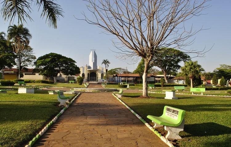
Campestre de Goiás is a municipality in central Goiás state, Brazil.
Contents
- Map of Campestre de GoiC3A1s State of GoiC3A1s Brazil
- Location
- Demographic and Political Data
- The economy
- Health in 2007
- Education in 2006
- History
- References
Map of Campestre de Goi%C3%A1s - State of Goi%C3%A1s, Brazil
Location
There are municipal boundaries with:
Campestre is 56 kilometres west of the state capital, Goiânia and 26 kilometers west of Trindade. Connections are made by GO-060 / Trindade / GO-050.
Demographic and Political Data
The economy
The economy is based on cattle raising, agriculture, and small retail and transformation units.
Animal raising in 2006
Agricultural information 2006
Health in 2007
Education in 2006
History
Campestre de Goiás began in 1949 when Dimas and Antônio Viera settled with their families along the banks of the Córrego Campestre. In 1963 it was raised to a district of Trindade, and in the same year was dismembered to create a new municipality.
References
Campestre de Goiás Wikipedia(Text) CC BY-SA
