
Population 4,508 (2001 census) Sovereign state United Kingdom Local time Tuesday 8:37 AM | OS grid reference NS867805 Post town FALKIRK Dialling code 01324 | |
 | ||
Weather 3°C, Wind SW at 11 km/h, 92% Humidity | ||
Camelon (/ˈkeɪmələn/; Scots: Caimlan, Scottish Gaelic: Camlann) is a large settlement within the Falkirk council area, Scotland. The village is in the Forth Valley, 1.3 miles (2.1 km) west of Falkirk, 1.3 miles (2.1 km) south of Larbert and 2.6 miles (4.2 km) east of Bonnybridge. The main road through Camelon is the A803 road which links the village to Falkirk.
Contents
Map of Camelon, UK
At the time of the 2001 census, Camelon had a population of 4,508.
History
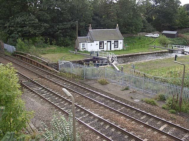
Camelon was the site of a flight of locks which joined the Union Canal with the Forth and Clyde Canal, this was replaced in 2002 with the Falkirk Wheel, a rotating boat lift.
Camelon is the site of a series of Roman fortifications (Alauna Civitas) on the Antonine Wall.
Mariners Day
Mariners Day is an annual children fayre held on the second Saturday in June. It includes a parade, crowning ceremony of the Queen along with fun and games for the children of Camelon.
Transport
Camelon has good access for a village of its size with Camelon railway station lying on the Cumbernauld Line and the Edinburgh to Dunblane line. Next to the station there are amenities including the Mariner Leisure Centre. The main road through Camelon is the A803 road which provides access to Falkirk.
Sport
Camelon is home to the junior football club Camelon Juniors, founded in 1920 and currently compete in the East Region Super League.