
Time zone SAST (UTC+2) Area 12,422 km² Black african population 24.8% Native english speakers 3.8% | Wards 7 Municipal code EC101 White population 9.6% Native afrikaans speakers 78.7% | |
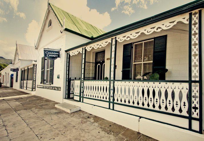 | ||
Points of interest The Owl House, Valley Of Desolation, Hester Rupert Art Museum, Reinet House Museum, Reinet House | ||
Camdeboo Local Municipality was an administrative area in the Sarah Baartman District Municipality of the Eastern Cape in South Africa. After municipal elections on 3 August 2016 it was merged into the larger Dr Beyers Naudé Local Municipality.
Contents
Map of Graaff-Reinet, South Africa
The name Camdeboo (or Qamdobowa in Xhosa language) has evolved from a phonetically similar Khoi word meaning "green hollow".
Main places
The 2001 census divided the municipality into the following main places:
Politics
The municipal council consists of fourteen members elected by mixed-member proportional representation. Seven councillors are elected by first-past-the-post voting in seven wards, while the remaining seven are chosen from party lists so that the total number of party representatives is proportional to the number of votes received. In the election of 18 May 2011 the African National Congress (ANC) won a majority of eight seats on the council. The following table shows the results of the election.