
OS grid reference NZ305835 Sovereign state United Kingdom Local time Tuesday 6:04 AM | Unitary authority Postcode district NE24 Dialling code 01670 | |
 | ||
Weather 2°C, Wind W at 14 km/h, 93% Humidity | ||
Cambois (/ˈkæməs/ KAM-əs) is a village in south-east Northumberland, England. It is situated on the north side of the estuary of the River Blyth between Blyth and Ashington on the North Sea coast.
Contents
Map of Cambois, Blyth, UK
Etymology
According to earlier scholarship, the etymology of the name is probably Gaelic cambas 'bay, creek'. However, the name could equally be from the Cumbric cognate of cambas, *camas 'bend in a river, bay', which would fit with Cambois's location at the confluence of Sleek Burn and the River Blyth. In either case, the spelling seems to have been influenced by French bois 'wood'.
History
Cambois was a township in Bedlingtonshire which, until 1844, was part of County Durham.
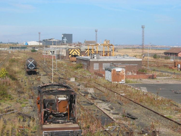
Cambois was a coal mining village from 1862 to week ending 20 April 1968 when Cambois Colliery closed.
Cambois is now closely related to the area known as North Blyth. The main commercial activity (2011) is the importation of alumina for the manufacture of aluminium.
In 1883, the Coal Company gave a list of the property it owned, or leased: