
Population (1999) 1,581 Local time Tuesday 6:31 AM | Canton Houdain Area 10.04 km² | |
 | ||
Intercommunality Communauté d'agglomération de l'Artois Weather 4°C, Wind W at 11 km/h, 93% Humidity | ||
Camblain-Châtelain is a commune in the Pas-de-Calais department in the Hauts-de-France region of France.
Contents
Map of Camblain-Ch%C3%A2telain, France
Geography
Camblain-Châtelain is a farming and light industrial village some 7 miles (11.3 km) southwest of Béthune and 33 miles (53.1 km) southwest of Lille, at the junction of the D341 and the D70 roads, by the banks of the Clarence River.
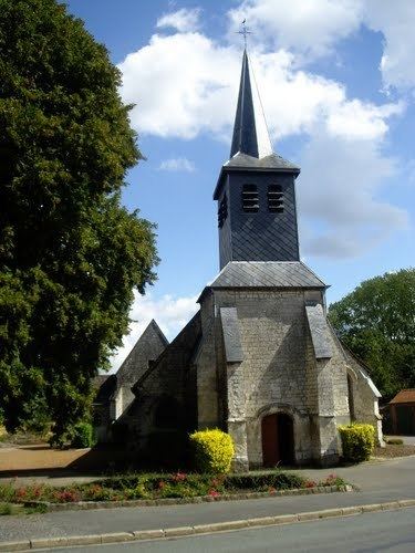
Places of interest
References
Camblain-Châtelain Wikipedia(Text) CC BY-SA