
Flag Seal Time zone CET (UTC+1) Area 44.2 km² Population 192 (2014) | Municipality Calzada de Don Diego Elevation 815 m Local time Tuesday 5:16 AM | |
 | ||
Weather 7°C, Wind SW at 8 km/h, 85% Humidity | ||
Tormenta calzada de don diego
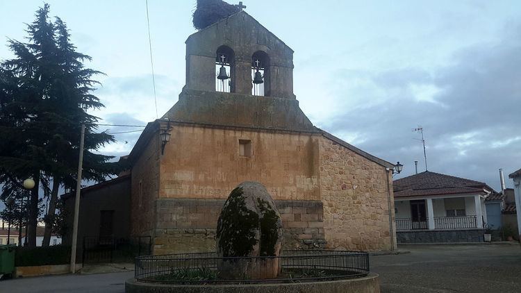
Calzada de Don Diego is a village and municipality in the province of Salamanca, western Spain, part of the autonomous community of Castile and León. It is 24 kilometres (15 mi) from the provincial capital city of Salamanca and as of 2014 had a population of 192 people . The municipality covers an area of 44.2 square kilometres (17.1 sq mi) and lies 815 metres (2,674 ft) above sea level. The postal code is 37448.
Contents
Map of 37448 Calzada de Don Diego, Salamanca, Spain
References
Calzada de Don Diego Wikipedia(Text) CC BY-SA