
Country United States County Chester Time zone Eastern (EST) (UTC-5) Area 210 ha Area code 610 | Township Caln Elevation 105 m Population 1,519 (2010) | |
 | ||
ZIP code 19320 (Coatesville, PA) | ||
Caln is a census-designated place (CDP) in Caln Township, Chester County, Pennsylvania, United States. The population was 1,519 at the 2010 census. It is located east of the city of Coatesville.
Contents
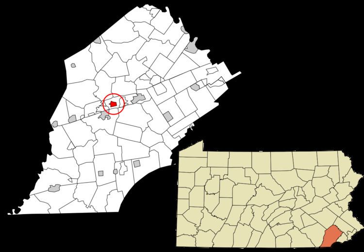
Map of Caln, PA 19320, USA
Geography
Caln is located at 39°59′25″N 75°46′48″W. The Lincoln Highway, also known as U.S. Route 30 Business, forms the southern edge of the CDP. Caln CDP extends north as far as Pennsylvania Route 340.
According to the United States Census Bureau, the CDP has a total area of 0.81 square miles (2.1 km2), all of it land.
References
Caln, Pennsylvania Wikipedia(Text) CC BY-SA