OS grid reference NU055095 Post town ALNWICK Dialling code 01665 | Sovereign state United Kingdom Local time Monday 7:32 PM | |
 | ||
Population 235 (2011 census including Cartington) Weather 3°C, Wind W at 3 km/h, 94% Humidity | ||
Callaly is a village in Northumberland, England. It is about 9 miles (14 km) to the west of Alnwick. The main A697 road (to Morpeth) is 3 miles (5 km) away.
Contents
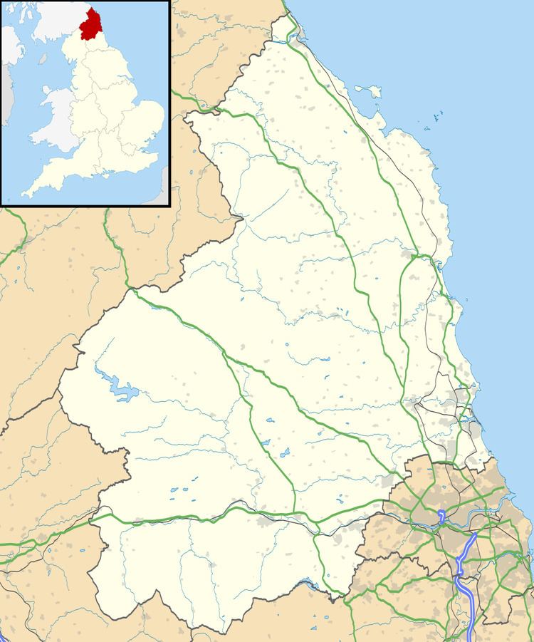
Map of Callaly, Alnwick, UK
Governance
Callaly is in the parliamentary constituency of Berwick-upon-Tweed.
Landmarks
Callaly Castle, a Grade 1 listed building, is located just north of the village.
Dancing Hall is located outside of Callaly Village and is a site where traditionally convicts from the local region were held before being transported to the local magistrates at Powburn. Dancing Hall derives its name from the fact that the majority of convicts were on their way to be hanged for various crimes, that is, to "dance on the hangman's rope".
References
Callaly Wikipedia(Text) CC BY-SA
