
North end: SR 121 in Napa | Length 4.316 km | |
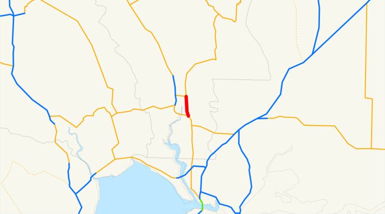 | ||
South end: SR 12 / SR 29 near Vallejo | ||
State Route 221 (SR 221) is a state highway in Napa County of the U.S. state of California.
Contents
Map of CA-221, California, USA
Route description
Route 221 is the northernmost part of the Napa-Vallejo Highway. It is a divided four-lane expressway that serves as an alternate to the nearby Route 29 freeway into Napa from the south. Unlike Route 29, however, 221 provides direct access to Napa Valley College and Napa State Hospital. The southern terminus is with Route 29 (which also carries Route 12), where it continues as the Napa-Vallejo Highway. The northern terminus is an intersection with Route 121, where 121 continues north as Soscol Avenue.
Major intersections
Except where prefixed with a letter, postmiles were measured on the road as it was in 1964, based on the alignment that existed at the time, and do not necessarily reflect current mileage. R reflects a realignment in the route since then, M indicates a second realignment, L refers an overlap due to a correction or change, and T indicates postmiles classified as temporary (for a full list of prefixes, see the list of postmile definitions). Segments that remain unconstructed or have been relinquished to local control may be omitted. The entire route is in Napa County.