
Existed: 1972 – present Counties: Imperial Constructed 1972 | Length 3.33 km | |
 | ||
South end: Mexican border near Algodones County | ||
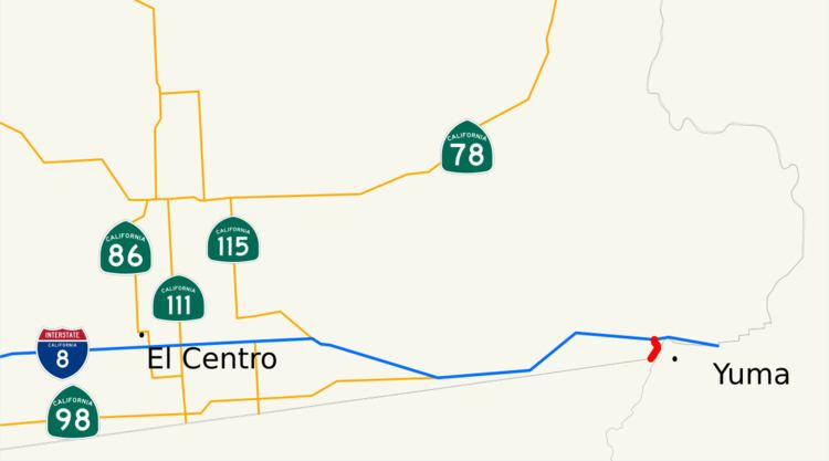
State Route 186 (SR 186) is a route that connects Interstate 8 (I-8) with the U.S.–Mexico border near the Colorado River. Its southern terminus is near Los Algodones, Baja California, and its northern terminus is near Winterhaven, California in the location of Araz Junction. The route is only 2.070 miles (3.331 km) long, heading along the length of the Alamo Canal and the All-American Canal within the boundaries of the Fort Yuma-Quechan Reservation. The route was assigned in 1972 in Imperial County, and the interchange with I-8 was constructed a year later.
Contents
Map of CA-186, Winterhaven, CA 92283, USA
Route description
SR 186 begins at the United States–Mexico border (near Avenue International) in the community of Los Algodones. The route heads to the northeast along the Alamo Canal and crosses the center of the Fort Yuma-Quechan Reservation. Most of the surroundings of SR 186 are desolate, compared to the developed region across the border in Mexico. The highway continues northward, crossing the All-American Canal, where it turns to the north. SR 186 continues northward to an interchange with I-8 in Araz Junction, where the route terminates at the northbound ramps. The route continues northward as locally maintained Araz Road. Near the interchange is a casino operated by the Quechan Native American tribe that opened in 2009.
SR 186 is not part of the National Highway System, a network of highways that are essential to the country's economy, defense, and mobility. In 2014, SR 186 had an annual average daily traffic (AADT) of 3,800 vehicles at the southern end, and 8,200 vehicles at the junction with I-8, the latter of which was the highest AADT for the highway.
History
A road south from the Ocean-to-Ocean Highway to the Mexican border just west of the Colorado River existed by 1917, and was paved between 1956 and 1965. The Andrade Port of Entry at the southern end of the highway was built in 1970. The current alignment of SR 186 was assigned in 1972 by the California State Legislature.
There are two bridges along the alignment of SR 186. The first one to be constructed was a concrete slab bridge over the All-American Canal, with the structure opening in 1938. The bridge is 140.09 feet (42.70 m) long, and is considered unable to sustain the traffic it was designed to handle. The second bridge is located at the interchange with I-8 in Araz Junction. This bridge, constructed in 1973 (a year after the route was assigned), is a 227.03-foot-long (69.20 m) concrete box beam structure. This structure, unlike the other, is recorded to be in usable shape.
Major intersections
The entire route is in Imperial County.