
Length 18.45 km | ||
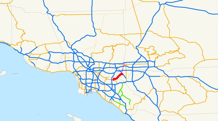 | ||
State Route 142 (SR 142), also known as Carbon Canyon Road for most of its length, runs southwest from State Route 71 in Chino Hills, through Olinda Village to its intersection with Lambert Road and Valencia Avenue in Brea. At the intersection, the highway turns south onto Valencia Avenue and ends at State Route 90, Imperial Highway. The eastern portion of the route is known as Chino Hills Parkway.
Contents
Map of CA-142, California, USA
It is signed as a scenic route from the Orange-San Bernardino County line to Peyton Drive in Chino Hills. It is a popular shortcut between the Inland Empire and the business centers of Brea and surrounding Orange County; however, the road has multiple tight curves, so travel is not recommended for long vehicles, such as big rigs.
Route description
SR 142 is part of the California Freeway and Expressway System and is eligible for the State Scenic Highway System. However, it has not been designated by Caltrans as a scenic highway.
SR 142 begins in the city of Brea as Valencia Avenue at a junction with SR 90. The road heads northeast to an intersection with Carbon Canyon Road, which assumes the designation of SR 142 and continues east through Carbon Canyon Regional Park. SR 142 continues into the community of Olinda before crossing into the Sleepy Hollow area of the city of Chino Hills in San Bernardino County.
SR 142 continues northeast through Chino Hills to an intersection, where it continues eastbound on Chino Hills Parkway. The highway ends at an interchange with SR 71 on the border of Chino Hills and Chino, near the California Institution for Men, a state prison.
History
In 1933, a road from Brea to Chino was added to the state highway system. It was designated as Route 177 in 1935. In the 1964 state highway renumbering, this became part of SR 142. A routing from Chino to Upland was added to the state highway system as Route 274 in 1959, and was added to SR 142 in the 1964 renumbering from SR 71 to SR 30 (later SR 210), but no highway has been built along that route.
Major intersections
Except where prefixed with a letter, postmiles were measured on the road as it was in 1964, based on the alignment that existed at the time, and do not necessarily reflect current mileage. R reflects a realignment in the route since then, M indicates a second realignment, L refers an overlap due to a correction or change, and T indicates postmiles classified as temporary (for a full list of prefixes, see the list of postmile definitions). Segments that remain unconstructed or have been relinquished to local control may be omitted. The numbers reset at county lines; the start and end postmiles in each county are given in the county column.