
Elevation 1,369 m Country United States of America | ||
 | ||
Topo map USGS Salsberry Peak, Yermo | ||
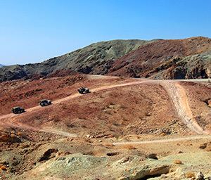
The Calico Mountains of California are located in the Mojave Desert of San Bernardino County and Inyo County, California.
Contents
Map of Calico Mountains, California, USA
GeographyEdit
The Calico Mountains are geologically colorful range that lie in a northwest-southeast direction, and are located just north of Barstow and Yermo, and of Interstate 15.
Historic Pickhandle Pass and Jackhammer Gap lie at the northern end of the mountains on Fort Irwin Road, with the Fort Irwin Military Reservation nearby. The Calico Mountains have been active in California mining history.
PeaksEdit
Calico Peak, the highest point, is 4,491-foot (1,369 m) in elevation, in the San Bernardino County portion of the range (N 34.995259 and W -116.838369).
FeaturesEdit
The Rainbow Basin geologic feature, in the Bureau of Land Management managed Rainbow Basin Natural Area, is just north of Barstow.
Calico Ghost Town is located in the Yermo Hills (Calico Hills) at the western edge of the Calico Mountains, north of Yermo.
The Calico Early Man Site is a Paleo-Indians lithic workshop for Stone tools and a simple quarry archaeological site in the mountains also.