
Gaelic name Calbha Mor OS grid reference NC167367 Sovereign state United Kingdom Highest elevation 67 m Council area Highland | Meaning of name Large calf island Area rank 174= Country Scotland Area 70 ha Lieutenancy area Highland | |
 | ||
Island groups British Isles, Inner Hebrides | ||
Calbha Mor is a tidal islet in Eddrachillis Bay, Sutherland, Scotland.
Contents
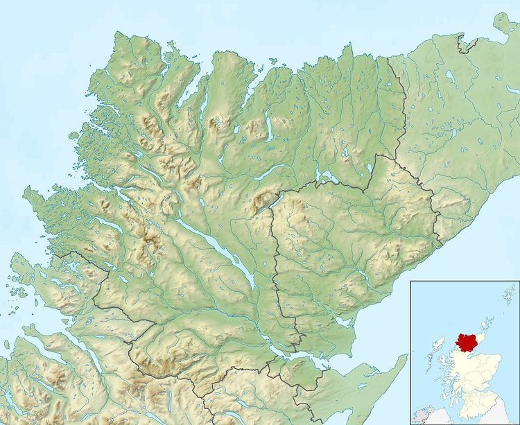
Map of Calbha Mor, Lairg, UK
Geography
Calbha Mor lies north of the Kylesku Bridge and west of the Duartmore forest in a location that is relatively inaccessible from the A894 road. It is 70 hectares (170 acres) in extent and comprises two rounded hills, the highest of which reaches 67 metres (220 ft).
It is separated from its smaller neighbour, Calbha Beag, by a channel 11 metres (36 ft) deep. Calbha Beag is 45 hectares (110 acres) in area.
The sheltered Bagh Calbha lies to the east and a large escape of fish from a fish farm here took place in 2003.
References
Calbha Mor Wikipedia(Text) CC BY-SA