
Country Philippines Founded June 25, 1963 Time zone PST (UTC+8) Province Apayao | District Lone District Barangays Local time Monday 5:29 PM | |
 | ||
Region Cordillera Administrative Region (CAR) Weather 27°C, Wind NE at 6 km/h, 67% Humidity Neighborhoods Tanglagan, Filomeno, Nanagan, Bunot, Maragnat, Tabangan, Aputan, Papaoar, Naguilian | ||
Calanasan, officially the Municipality of Calanasan (Ilocano: Ili ti Calanasan; Filipino: Bayan ng Calanasan), (formerly known as Bayag, meaning "slow"), is a municipality in the province of Apayao in the Cordillera Administrative Region (CAR) of the Philippines. The population was 12,604 at the 2015 census. In the 2016 electoral roll, it had 7,296 registered voters.
Contents
Map of Calanasan, Apayao, Philippines
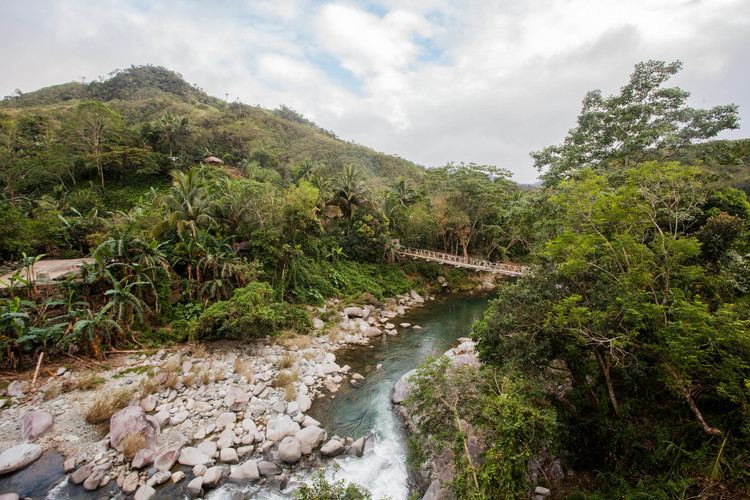
Its land area is 1,256.15 square kilometres (485.00 sq mi), making it the largest municipality in the province. Calanasan is the source of the Apayao River which empties into the South China Sea and is the only navigable river in Apayao.
Geography
Calanasan is located at 18°15′N 121°02′E.
According to the Philippine Statistics Authority, the municipality has a land area of 1,256.15 square kilometres (485.00 sq mi) constituting 7001284600000000000♠28.46% of the 4,413.35-square-kilometre- (1,704.00 sq mi) total area of Apayao.
Calanasan is 607 kilometres (377 mi) north from Manila and located in the north-western section of Apayao bordering Santa Praxedes and Claveria in the north, Adams and Carasi in the west, Solsona in the south-west, Kabugao on the south, and Luna and some parts of Kabugao on the east.
The town’s topography or slope is predominantly rugged and mountainous with sporadic flood plains and plateaus. The municipality cradles the larger part of the Apayao-Abulog watershed area as the main source of streams that fills the mighty river which originates from the municipality.
Calanasan has two pronounced seasons, the dry and the wet seasons. The dry season starts in the latest part of December and ends in the middle part of June. The wet season starts in July and ends in the middle part of December. The hottest month is May and rainfall is heaviest in August while strong typhoons usually occur within the period of August to October and the December used to be the coolest month.
Barangays
Calanasan is politically subdivided into 20 barangays.
Demographics
In the 2015 census, Calanasan had a population of 12,604. The population density was 10 inhabitants per square kilometre (26/sq mi).
In the 2016 electoral roll, it had 7,296 registered voters.
Calanasan is dominated by Isnag Tribe, living with them are the Ilocanos, Igorots and Kalingas. The main dialects of the people are the Isnag and the Ilocano.
Economy
Economic activity in the municipality is based on agricultural production like farming and fishing and livelihood activities like basketry, soft broom making and furniture making.
The municipality has no level lands for extensive rice production except in the northern part of the municipality. The total land area devoted to agriculture is 45.316 hectares (111.98 acres) in which total land area irrigated is 2,347.49 hectares (5,800.8 acres). Its produce include coffee, corn, root crops, peanuts and other legumes, banana, pineapple and some vegetables.
Tourism
The town has vast variety of wild flora and fauna which contributes to its eco-tourism potential. The town is surrounded with virgin forests, cascading waterfalls, and clear rivers.
Potential tourist attractions include: