
Type Glacial, moraine-damed Max. length 25 km (16 mi) Area 120.6 km² Surface elevation 209 m | Primary inflows Max. width 7.7 km (4.8 mi) Length 25 km Outflow location Pullinque River | |
 | ||
Similar Panguipulli Lake, Pellaifa Lake, Riñihue Lake, Pirihueico Lake, Villarrica Lake | ||
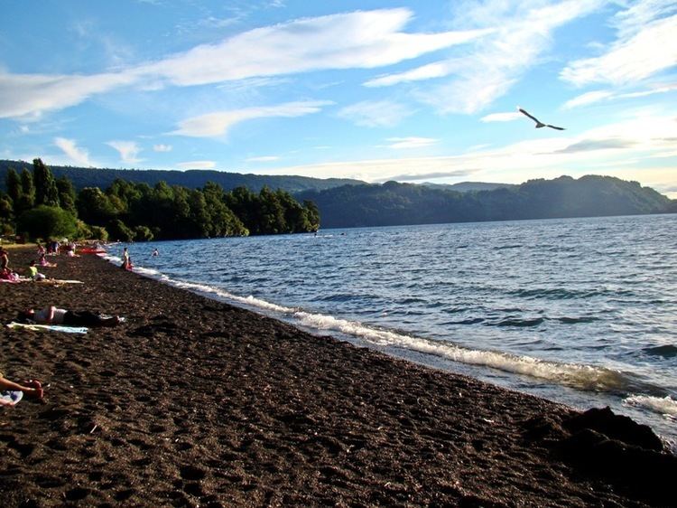
Calafquén Lake (Mapudungun: Lake like a sea) is a lake of Chile, which straddles the border between the La Araucanía Region and Los Ríos Region. It is one of the Seven Lakes and forms part of the drainage basin of the Valdivia River.
Map of Calafqu%C3%A9n Lake, Chile
The Villarrica Volcano is situated in the vicinity, north of the lake.
References
Calafquén Lake Wikipedia(Text) CC BY-SA