
Country Peru Capital Cajamarca UBIGEO 06 | Largest city Cajamarca Highest elevation 4,496 m (14,751 ft) | |
 | ||
Subdivisions 13 provinces and 127 districts | ||
Cajamarca (Quechua: Kashamarka; Aymara: Qajamarka) is a region in Peru. The capital is the city of Cajamarca. It is located in the north part of the country and shares a border with Ecuador. It is located at heights reaching 2,700 metres (8,900 ft) above sea level in the Andes Mountain Range, the longest mountain range in the world. Part of its territory includes the Amazon Rainforest, in total the largest in the world.
Contents
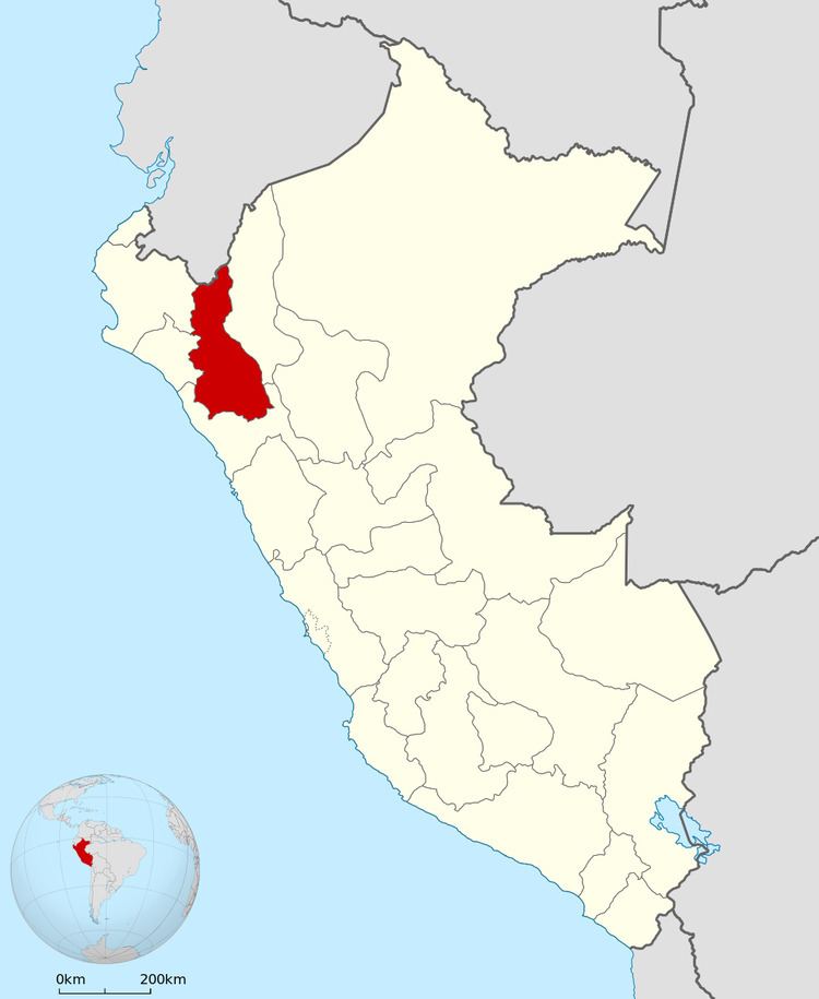
Map of Cajamarca, Peru
History
The Wari' people conquered earlier cultures in the highlands. They established the administrative center of Wiraquchapampa.
In the 15th century, the Incas conquered the territory, expanding their empire. They established their regional capital in what is now Cajamarca. The Incas in 1465 established a new province there to serve as a bridge to their later conquests.
Cajamarca had long been one of the oldest cities in South America when the Spanish arrived in their conquest of Peru.
Political division
The Region is divided into 13 provinces.
Province (Capital)
- Cajabamba (Cajabamba)
- Cajamarca (Cajamarca)
- Celendín (Celendín)
- Chota (Chota)
- Contumazá (Contumazá)
- Cutervo (Cutervo)
- Hualgayoc (Bambamarca)
- Jaén (Jaén)
- San Ignacio (San Ignacio)
- San Marcos (San Marcos)
- San Miguel (San Miguel de Pallaques)
- San Pablo (San Pablo)
- Santa Cruz (Santa Cruz de Succhubamba)