
Length 220 km | Western end: Alexandria | |
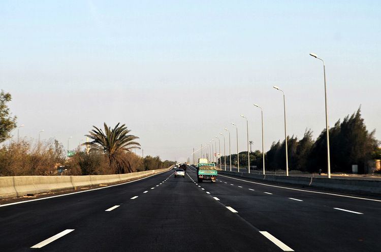 | ||
Cairo–Alexandria desert road, also known as the Cairo–Alexandria freeway and the Cairo–Alexandria highway, is the main highway that connects Cairo to Alexandria, the two largest cities in Egypt. It is 220 km long. It begins at Giza, at the northwest corner of Cairo's regional ring road, and ends in Alexandria (Kilo 21).
Contents
Map of Alexandria Desert Rd, Egypt
History
Development
In 2007, the Egyptian government represented by the General Authority for Roads, Bridges and Land Transport planned to develop the Cairo-Alexandria-Marsa Matrouh desert road and turn it into a freeway in compliance with global standards. The project aimed to achieve the following:
• Establishing new service roads besides the main road to serve the existing structures along the road with ideal control for the road's entrances and exits.
• Cancelling all surface intersections, the main reasons for many accidents, by building new free intersections.
• Lighting up road by installing lamps.
• Supply the road with intelligent traffic systems, marks and signs.
• Evaluating the engineering situation for the existing road with its different intersections and detecting its traffic capacity to the targeted year 2025.
• Enhancing the road's specifications to comply with international freeway standards.
• Increasing the design speed to decrease the travel time.
• Decreasing the environmental effects.
• Developing the toll stations and building new ones.
• Developing emergency services like ambulance stations, emergency call cells and resting areas.
Project phases
The GARBLT's plan to develop the road was divided into four phases as shown below: