
Traditional Chinese 堅道 Hanyu Pinyin | Simplified Chinese 坚道 Yale Romanization gin1 dou6 or gin1 dou2 | |
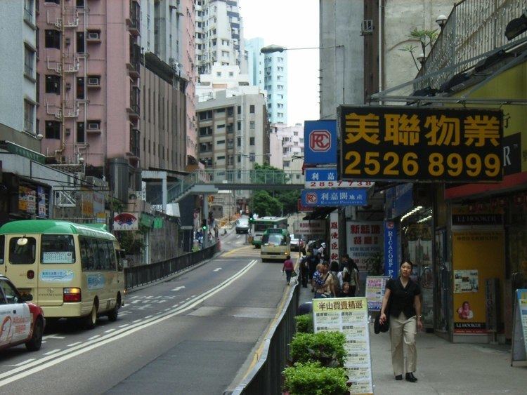 | ||
Caine Road is a road running through Central and Sheung Wan, Hong Kong. It connects Bonham Road to the west (at the junction with Hospital Road and Seymour Road), and Arbuthnot Road, Glenealy and Upper Albert Road to the east.
Contents
Map of Caine Rd, Hong Kong
The road is named after William Caine, a Colonial Secretary, and an acting Governor of Hong Kong between May and September 1859.
Features
The following buildings and structures are located along Caine Road:
Transport
Driving west-bound is restricted to buses during the day. Private vehicles may drive west between 7pm and 7am weekdays, after 1pm on Saturdays, and all day Sunday.
References
Caine Road Wikipedia(Text) CC BY-SA