
Country Vietnam Capital Cai Lậy Area 411 km² | Region Mekong Delta Time zone UTC + 7 (UTC+7) Province Tien Giang Province | |
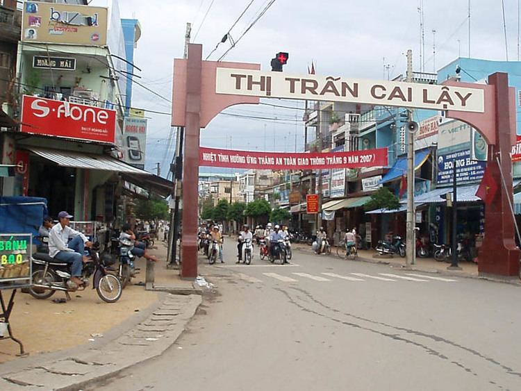 | ||
Cai Lậy is a rural district of Tien Giang province in the Mekong Delta region of Vietnam. As of 2003 the district had a population of 320,220. The district covers an area of 411 km². The district capital lies at Cai Lậy.
Map of Cai L%E1%BA%ADy District, Tien Giang, Vietnam
The town lies on Highway 1A, which links Ho Chi Minh City with the Mekong delta, and is a near continuous ribbon of commercial development. The hinterland is largely agricultural, with many smallholdings specialising in growing a variety of fruits, including custard apples, [sweet mango] and pomelos in the fertile delta soils.
References
Cai Lậy District Wikipedia(Text) CC BY-SA