Irish Grid Reference V548593 | Local time Monday 5:38 AM | |
 | ||
Weather 7°C, Wind W at 31 km/h, 82% Humidity | ||
Caherdaniel derrynane co kerry ireland june 2015
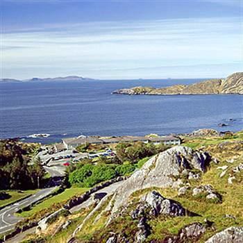
Caherdaniel (Irish: Cathair Dónall, meaning "Dónall's stone ringfort") is a village in County Kerry, Ireland, located on the Iveragh peninsula on the Ring of Kerry. It is on the southwestern side of the peninsula, facing onto Derrynane Bay, at a T-junction on the N70 road.
Contents
- Caherdaniel derrynane co kerry ireland june 2015
- Map of Caherdaniel Co Kerry Ireland
- The kerry way ireland caherdaniel to waterville
- References
Map of Caherdaniel, Co. Kerry, Ireland
A stone ringfort (cathair in Irish) is nearby, as is Derrynane House, which was home to Daniel O'Connell. Copper ore was mined in the area, the first mines dating back to about 2000 BC.
The kerry way ireland caherdaniel to waterville
References
Caherdaniel Wikipedia(Text) CC BY-SA
