
Country United States GNIS feature ID 453151 Area 30.92 km² Population 238 (2010) | FIPS code 18-09730 Elevation 268 m Local time Sunday 11:01 PM | |
 | ||
Weather 13°C, Wind SW at 13 km/h, 37% Humidity | ||
Caesar Creek Township is one of fourteen townships in Dearborn County, Indiana. As of the 2010 census, its population was 238 and it contained 119 housing units.
Contents
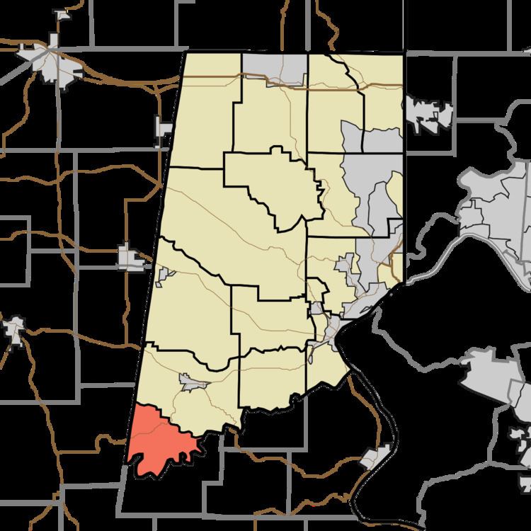
- Map of Caesar Creek Township IN 47018 USA
- History
- Geography
- Unincorporated towns
- Major highways
- Cemeteries
- References
Map of Caesar Creek Township, IN 47018, USA
History
Caesar Creek Township was established in 1826.
St. John's Lutheran Church and School was added to the National Register of Historic Places in 1996.
Geography
According to the 2010 census, the township has a total area of 11.94 square miles (30.9 km2), all land.
Unincorporated towns
(This list is based on USGS data and may include former settlements.)
Major highways
Cemeteries
The township contains three cemeteries: Mount Hebron, Rand and Saint Johns.
References
Caesar Creek Township, Dearborn County, Indiana Wikipedia(Text) CC BY-SA