Established 1927 State electorate(s) Central Wheatbelt Founded 1927 Local time Monday 10:27 AM | Postcode(s) 6466 Elevation 372 m Postal code 6466 Lga Shire of Wongan-Ballidu | |
 | ||
Weather 32°C, Wind N at 21 km/h, 20% Humidity | ||
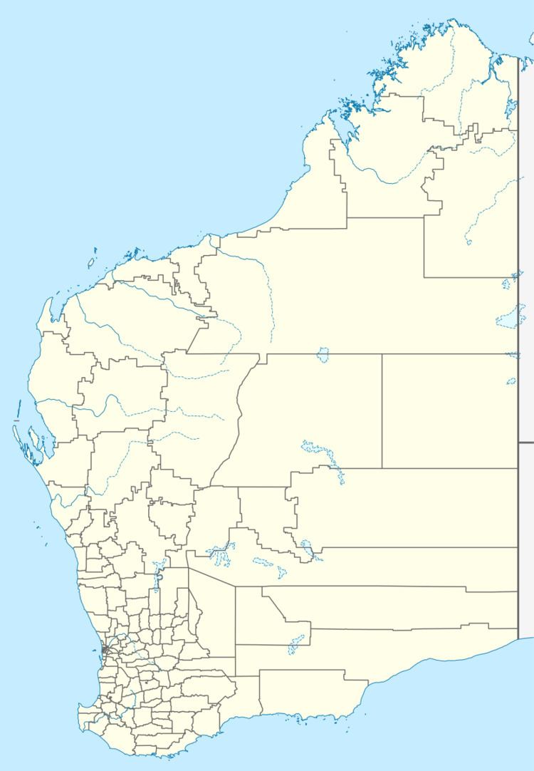
Cadoux is a town in the northeastern Wheatbelt region of Western Australia. It is about 180 kilometres (112 mi) northeast of Perth, within the Shire of Wongan-Ballidu.
Contents
Map of Cadoux WA 6466, Australia
The townsite was gazetted in 1929 and the railway siding was opened in the same year. It was on the Amery–Kalannie line at 149 miles 49 chains.
The main industry in town is wheat farming with the town being a Cooperative Bulk Handling receival site.
Cadoux earthquake
On 2 June 1979 there was a significant earthquake just east of the town. It had a Richter magnitude of 6.1 and was the second most damaging earthquake in the history of Western Australia. Damage to the area was estimated to be A$3.8 million (in 1979 dollars). Only one injury was recorded in the entire earthquake. This was a broken arm sustained by a child from falling masonry.
