
Country United States County Washington Elevation 244 m Local time Sunday 7:46 PM | State Missouri Time zone Central (CST) (UTC-6) Zip code 63630 Area code 573 | |
 | ||
Weather 10°C, Wind S at 23 km/h, 78% Humidity | ||
Cadet is an unincorporated community in Union Township in eastern Washington County, Missouri, United States. Cadet is located on Missouri Route 47 between Old Mines to the west and Bonne Terre to the southeast. The village is about 6 miles (10 km) northeast of Potosi.
Contents
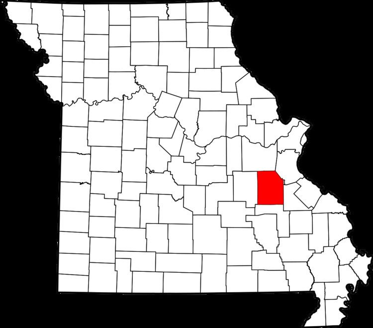
Map of Cadet, MO 63630, USA
History
Cadet had its start when the railroad was extended to that point. A post office called Cadet has been in operation since 1859. It is unknown why the name "Cadet" was applied to this community.
References
Cadet, Missouri Wikipedia(Text) CC BY-SA