
Elevation −1,500 m (−4,900 ft) Mountain type Stratovolcano | Listing Seamounts Last eruption unknown | |
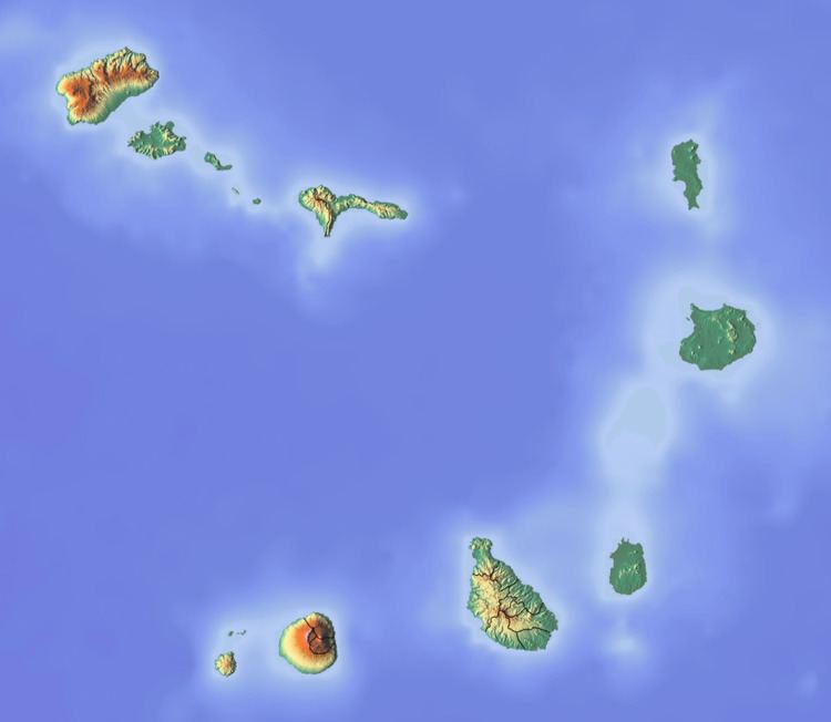 | ||
Location 20 km southwest of Brava, Cape Verde | ||
The Cadamosto Seamount is a seamont in the North Atlantic Ocean just 20 km southwest of the island of Brava, Cape Verde.
Contents
The seamount is named after the explorer Alvise Cadamosto who explored Cape Verde in 1456.
Geography and geology
The seamount forms a part of the Fogo-Brava Platform which also includes Ilhéu do Rombos. The lowest point is 4,400 below sea level at the ocean floor. The flattened tip is at 2,900 meters below sea level. The highest point is about 1,500 meters below sea level.
Rock formations composes of phonolithic rocks, a part makes up of crystallized nephelite. Other rocks includes clinopyroxene, titanite, apatite and feldspar.
The seamount's maga is about 206Pb/204Pb ratio of 19.5 isotope moderately to depleted mantle with a very high εNd component.
Earthquakes
Earthquakes occurred at the seamount between 1998 and 2004 and shook the island of Brava. The last earthquake measured at 4.3 on the Richter magnitude scale.