
Peak Antelope Peak Elevation 2,300 m | Topo map USGS Cactus Spring Country United States of America | |
 | ||
Cactus range end of an era part 1 of 4
The Cactus Range is a small mountain range in Nye County, Nevada. The range lies southwest of Cactus Flat and north of Pahute Mesa. Goldfield lies 23 mi (37 km) to the west in Esmeralda County. The range lies within the restricted area of the Tonopah Test Range.
Contents
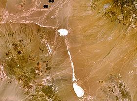
Map of Cactus Range, Nevada, USA
Named peaks in the range include:
References
Cactus Range Wikipedia(Text) CC BY-SA