
 | ||
Winds at cabras island iota sa 071 dxpedition nov 19 thru 23 2009
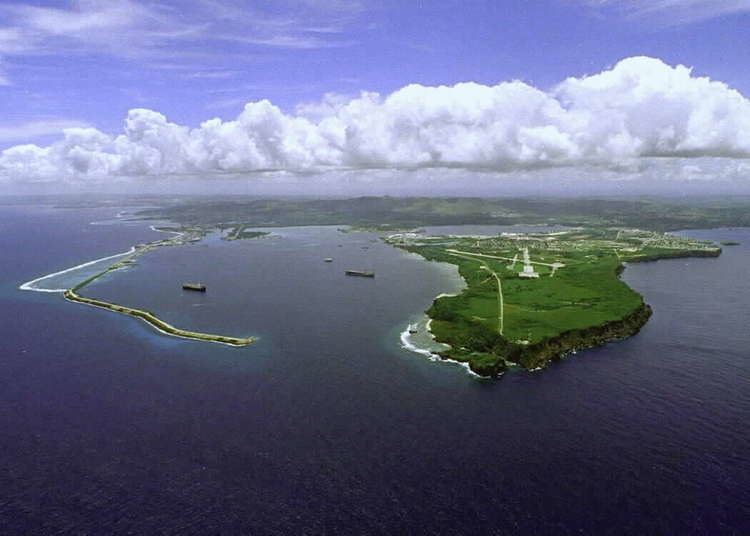
Cabras Island is a long finger of low-lying reef and land which forms the northern shore of Apra Harbor, Guam.
Contents
- Winds at cabras island iota sa 071 dxpedition nov 19 thru 23 2009
- Map of Cabras Island Guam
- References
Map of Cabras Island, Guam
The island's length has been extended artificially by the Glass Breakwater, named for Captain Henry Glass, who captured Guam for the United States in 1898 during the Spanish–American War. A road extends to the breakwater, though this is sometimes closed for security reasons during visits by ships.
The opposite coast of the harbor is formed by the Orote Peninsula, which houses Naval Base Guam and Point Udall (formerly Orote Point), mainland Guam's westernmost extremity.
References
Cabras Island Wikipedia(Text) CC BY-SA