
Country United States GNIS feature ID 898738 Area 254 ha Population 112 (2010) Area code 575 | Time zone Mountain (MST) (UTC-7) Elevation 1,296 m Zip code 87931 Local time Sunday 2:14 PM | |
 | ||
Weather 22°C, Wind SW at 35 km/h, 24% Humidity | ||
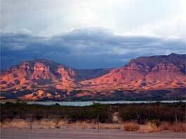
Caballo is a census-designated place in Sierra County, New Mexico, United States. Its population was 112 as of the 2010 census. Caballo has a post office with ZIP code 87931. The community is located along New Mexico State Road 187 north of Exit 63 of Interstate 25.
Contents
Map of Caballo, NM 87931, USA
Geography
Caballo is located at 32.980625°N 107.307469°W / 32.980625; -107.307469. According to the U.S. Census Bureau, the community has an area of 0.979 square miles (2.54 km2), all of it land.
References
Caballo, New Mexico Wikipedia(Text) CC BY-SA