
River mouth Aveyron128 m (420 ft) Length 87 km | Basin size 503 km (194 sq mi) Basin area 503 km² | |
 | ||
Main source near Saint-Jean-Delnous530 m (1,740 ft) Discharge Average rate:4.13 m/s (146 cu ft/s) | ||
Salles sur ce rou
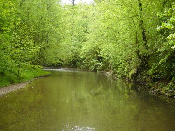
The Cérou (French: le Cérou) is an 87.4 km (54.3 mi) long river in the Aveyron and Tarn départements, southern France. Its source is at Saint-Jean-Delnous, 1.8 km (1.1 mi) northwest of the village. It flows generally west-northwest. It is a left tributary of the Aveyron River into which it flows at Milhars, 1.4 km (0.87 mi) north of the village.
Contents
- Salles sur ce rou
- Map of Le CC3A9rou France
- Buffati re de salles sur c rou
- Dpartements and communes along its course
- Tributaries
- References
Map of Le C%C3%A9rou, France
Buffati re de salles sur c rou
Départements and communes along its course
It flows generally west through the following départements and communes ordered from source to mouth:
Tributaries
Le Farruel (12.5 km), la Boutescure (15.4 km), le Céroc (17.6 km), le Candou, le Céret (28.5 km), la Zère, l'Aymer (12,2 km), le Bonnan.
References
Cérou Wikipedia(Text) CC BY-SA