
Length 135 km | ||
 | ||
Bridges Ponte de Prozelo, Ponte metálica de Fão | ||
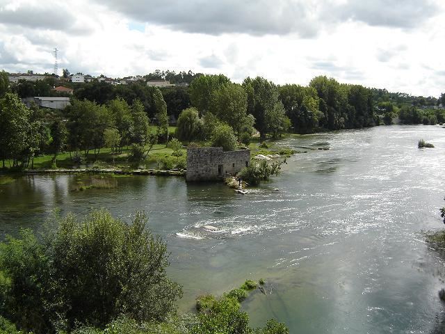
The Cávado River (Portuguese: rio Cávado) is a river located in northern Portugal.
Contents
Map of C%C3%A1vado River, Portugal
It has its source in Serra do Larouco at an elevation of 1,520 metres (4,990 ft) above sea level. It runs 135 kilometres (84 mi) from Fonte da Pipa, near the triangulation station Larouco, to its mouth into the Atlantic Ocean next to the city of Esposende. It flows through the districts of Vila Real and Braga, in Cávado Region, and flows near the towns of Vila Verde and Esposende and cities of Braga and Barcelos.
Its tributaries are the Homem River, Rabagão River and Saltadouro River.
Dams and ReservoirsEdit
Beginning at the headwaters, there are 5 dams on the Cávado:
References
Cávado River Wikipedia(Text) CC BY-SA