
Country Vietnam Capital Cà Mau ISO 3166 code VN-59 | Region Mekong Delta Time zone ICT (UTC+7) | |
 | ||
Area codes 780 (until 14 May 2017)
290 (from 15 April 2017) | ||
Cà Mau ( listen) is a province of Vietnam, named after its capital city. It is located in the Mekong Delta of southern Vietnam, and is the southernmost of Vietnam's 58 provinces. It is bordered on the north by the Kiên Giang and Bạc Liêu provinces, on the west by the Gulf of Thailand, and on the south and east by the East Sea.
Contents
Map of Ca Mau, Vietnam
Economy
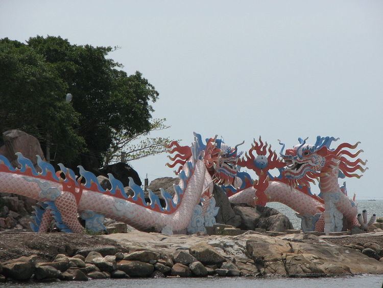
Being surrounded by sea on three sides, fishing is an important industry in Cà Mau province. An extensive network of canals also supports a strong agricultural sector, as well as providing a popular means of transport. The U Minh biosphere reserve and Mũi Cà Mau, the southernmost point of Vietnam, serve also as important tourism destinations. The Mũi Cà Mau National Park is located at Mũi Cà Mau.
Name
Its name came from the Khmers who inhabited the area before the arrival of the Vietnamese, Cà Mau means "black" in Khmer. The Khmer name for this province is Teuk Khmao, meaning "black water".
Administrative divisions
Cà Mau is subdivided into 9 district-level sub-divisions:
They are further subdivided into 9 commune-level towns (or townlets), 82 communes, and 10 wards.
1997 Typhoon
In November 1997, the Cà Mau Peninsula was struck by Typhoon Linda (Openg). Thousands of people were lost, and an estimated 200,000 homes were destroyed, along with much of the Cà Mau fishing fleet.