
Elevation 1,460 m Local time Thursday 6:41 PM | Time zone (UTC+4) Area 21.27 km² Population 4,345 (2011) | |
 | ||
Weather -3°C, Wind W at 2 km/h, 81% Humidity | ||
Village byurakan armenia summer 2016
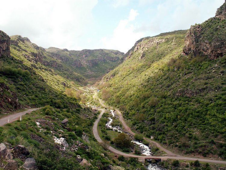
Byurakan (Armenian: Բյուրական), is a major village in the Aragatsotn Province of Armenia, located on the slope of Mount Aragats. The village is home to several historical sites including the 7th-century Artavazik Church, the 10th-century basilica of Saint Hovhannes and a huge 13th-century khachkar monument.
Contents
Map of Byurakan, Armenia
It is also home to the Byurakan Observatory.
References
Byurakan Wikipedia(Text) CC BY-SA