
Surface area 5.17 km (2.00 sq mi) Area 5.17 km² Shore length 22.36 km | Primary outflows Malmeisåna river Max. width 2 kilometres (1.2 mi) Surface elevation 179 m Width 900 m | |
 | ||
Max. length 7.5 kilometres (4.7 mi) Reference Norwegian Water Resources and Energy Directorate | ||
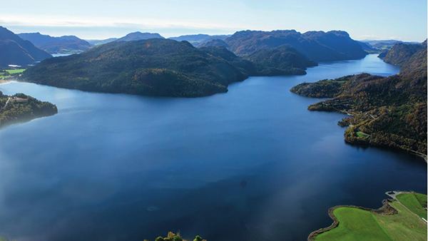
Byrkjelandsvatnet or Storavatnet is a lake in the municipality of Bjerkreim in Rogaland county, Norway. The 5.17-square-kilometre (2.00 sq mi) lake lies about 2 kilometres (1.2 mi) north of the village of Øvrebygd. The lake flows out through the short river Malmeisåna which flows into the lake Hofreistæ.
Map of Byrkjelandsvatnet, 4389 Vikes%C3%A5, Norway
References
Byrkjelandsvatnet Wikipedia(Text) CC BY-SA