Elevation 1,080 m | Local time Tuesday 10:16 PM | |
 | ||
Weather 21°C, Wind S at 10 km/h, 79% Humidity | ||
Buwenge is a town in the Eastern Region of Uganda. It was proposed as the headquarters of Jinja District in 2009 when local district leaders were lobbying government to grant Jinja city status.
Contents
Map of Buwenge, Uganda
Location
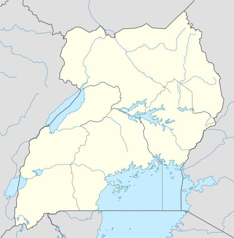
The town is bordered by Luzinga to the northeast, Butamira to the southeast, Mabira to the south, Mawoto to the west and Kiroro to the north. Buwenge is situated on the Jinja–Kamuli–Mbulamuti Road, approximately 29 kilometres (18 mi), by road, north of Jinja, the largest city in Busoga sub-region. This is about 36 kilometres (22 mi), by road, south of Kamuli. The coordinates of the town are:0°39'01.0"N, 33°10'13.0"E (Latitude:0.650278; Longitude:33.170278).
Population
In 2002, the national census estimated the population of the town at 14,461. In 2010, the Uganda Bureau of Statistics (UBOS), estimated the population of Buwenge at approximately 17,800. In 2011, UBOS estimated the mid-year population of Buwenge at 18,200. In 2014, the national census put the population of the town at 22,074.
Points of interest
The following points of interest are found within the limits of town or close to its orders:
