
OS grid reference NY635935 Sovereign state United Kingdom Local time Tuesday 6:32 PM | Unitary authority Postcode district NE48 | |
 | ||
Weather 5°C, Wind S at 16 km/h, 87% Humidity | ||
Butteryhaugh is a village in Northumberland, in England. It is situated a short distance to the south-east of Kielder.
Contents
Map of Butteryhaugh, Hexham, UK
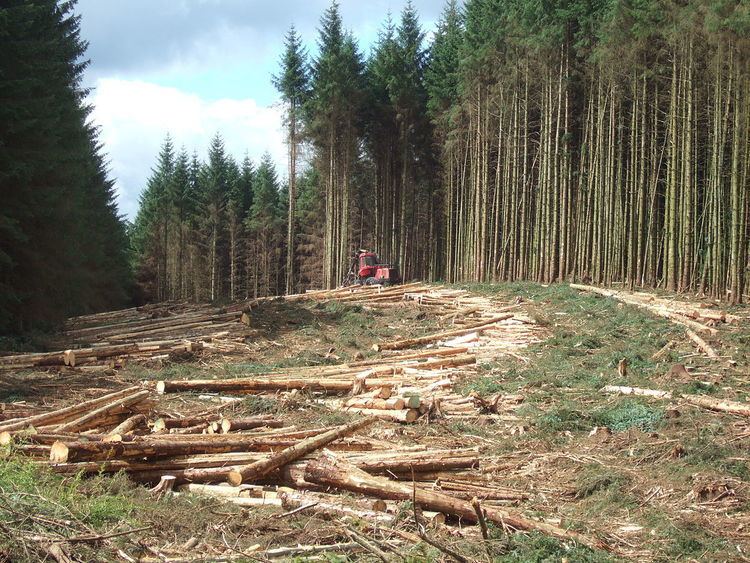
Although a separate "village" from Kielder, Kielder is generally accepted as including Butteryhaugh. Butteryhaugh was intended to be the second of five villages to be built in the area to accommodate forestry workers at Kielder Forest. With the mechanisation of forest activities and hence the need for fewer men, the final three villages were never constructed.
The village is just 2 miles (3 km) from the border with Scotland.
Governance
Butteryhaugh is in the parliamentary constituency of Hexham.
References
Butteryhaugh Wikipedia(Text) CC BY-SA