
Location Antarctica Highest elevation 185 m (607 ft) Elevation 185 m | Width 11 km (6.8 mi) Population Uninhabited | |
 | ||
Butler island 2016 gopro summer hd
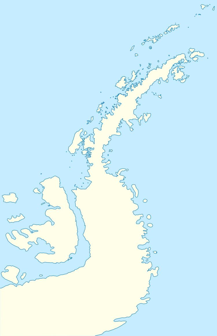
Butler Island (72°13′S 60°8′W) is a circular, ice-covered island 11 kilometres (6 nmi) wide which rises to 185 metres (610 ft), lying 13 kilometres (7 nmi) east of Merz Peninsula, off the eastern coast of Palmer Land. It was discovered and photographed from the air in December 1940 by the United States Antarctic Service. During 1947 it was photographed from the air by the Ronne Antarctic Research Expedition, who in conjunction with the Falkland Islands Dependencies Survey (FIDS) charted it from the ground. It was named by FIDS for K.S.P. Butler, FIDS commander in 1947–48.
Contents
- Butler island 2016 gopro summer hd
- Dave getting served like he s on butler island because he is on butler island
- References
Dave getting served like he s on butler island because he is on butler island
References
Butler Island Wikipedia(Text) CC BY-SA