
Population 944 (2011 census) Civil parish Burton Pidsea Local time Tuesday 10:34 AM | OS grid reference TA249312 Dialling code 01964 | |
 | ||
Weather 8°C, Wind W at 14 km/h, 74% Humidity | ||
Burton pidsea 10km 2016
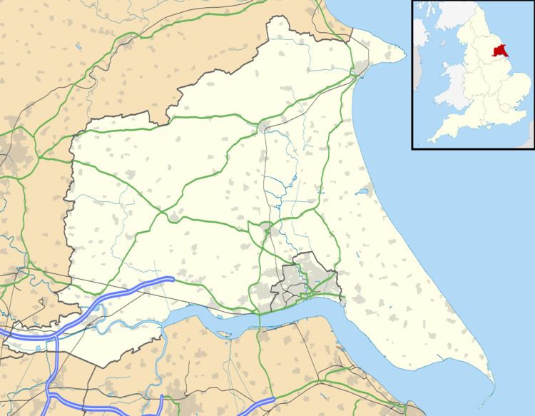
Burton Pidsea is a village and civil parish in the Holderness area of the East Riding of Yorkshire, England. The village is situated approximately 11 miles (18 km) east of Hull city centre.
Contents
Map of Burton Pidsea, UK
According to the 2011 UK census, Burton Pidsea parish had a population of 944, an increase on the 2001 UK census figure of 888.
There is a church, village hall, a Costcutter minimarket which incorporates both a post office and a petrol station, two public houses, a primary school and a playing field.
Other local amenities include a bowls club.
The church dedicated to Saint Peter and Saint Paul was designated a Grade I listed building in 1966 and is now recorded in the National Heritage List for England, maintained by Historic England.
Burton pidsea 10km 2016 b
References
Burton Pidsea Wikipedia(Text) CC BY-SA