
Country United States County St. Clair FIPS code 26-12020 Area 40.4 km² Local time Tuesday 5:13 AM | Time zone Eastern (EST) (UTC-5) Elevation 191 m Population 3,956 (2000) | |
 | ||
ZIP code 48032 (Jeddo),48059 (Fort Gratiot) Weather 11°C, Wind S at 24 km/h, 86% Humidity | ||
Burtchville Township is a civil township of St. Clair County in the U.S. state of Michigan. As of the 2000 census, the township population was 3,956.
Contents
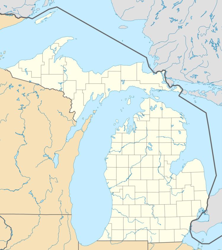
Map of Burtchville Township, MI 48059, USA
Lumberman Jonathon Burtch settled here in 1840. The township was named for him and he became the first supervisor when it was organized in 1862.
Communities
Geography
According to the United States Census Bureau, the township has a total area of 15.6 square miles (40 km2), of which 15.6 square miles (40 km2) is land and 0.04 square miles (0.10 km2) (0.13%) is water.
Demographics
As of the census of 2000, there were 3,956 people, 1,616 households, and 1,124 families residing in the township. The population density was 253.4 per square mile (97.8/km²). There were 1,880 housing units at an average density of 120.4 per square mile (46.5/km²). The racial makeup of the township was 97.40% White, 0.30% African American, 0.40% Native American, 0.30% Asian, 0.03% Pacific Islander, 0.18% from other races, and 1.39% from two or more races. Hispanic or Latino of any race were 1.79% of the population.
There were 1,616 households out of which 31.9% had children under the age of 18 living with them, 55.6% were married couples living together, 9.8% had a female householder with no husband present, and 30.4% were non-families. 24.8% of all households were made up of individuals and 9.2% had someone living alone who was 65 years of age or older. The average household size was 2.44 and the average family size was 2.91.
In the township the population was spread out with 24.4% under the age of 18, 8.1% from 18 to 24, 29.9% from 25 to 44, 25.1% from 45 to 64, and 12.5% who were 65 years of age or older. The median age was 37 years. For every 100 females there were 93.7 males. For every 100 females age 18 and over, there were 92.8 males.
The median income for a household in the township was $43,830, and the median income for a family was $50,813. Males had a median income of $39,688 versus $21,667 for females. The per capita income for the township was $22,782. About 5.6% of families and 6.4% of the population were below the poverty line, including 8.0% of those under age 18 and 3.7% of those age 65 or over.