
Region East Marmara Vehicle registration 16 Area code 224 | ||
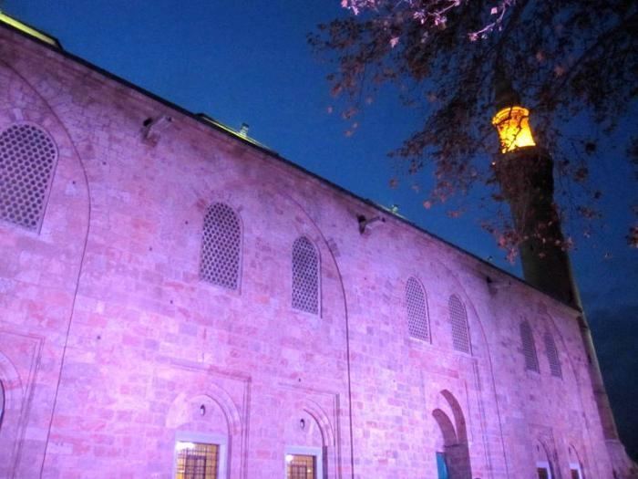 | ||
Clubs and Teams Bursaspor, Yeşil Bursa SK, Bursa Büyükşehir Belediyespor Women's Volleyball, İnegöl Belediye, Tofaş Points of interest Uludağ, Grand Mosque of Bursa, Lake Iznik, Bursa Museum of Turkish a, Soğanlı Hayvanat Bahçesi Colleges and Universities Uludağ University, Bursa Technical University, Bursa Orhangazi University | ||
Bursa Province (Turkish: Bursa ili) is a province in Turkey, along the Sea of Marmara coast in northwestern Anatolia. Its adjacent provinces are Balıkesir to the west, Kütahya to the south, Bilecik and Sakarya to the east, Kocaeli to the northeast and Yalova to the north. The province has an area of 11,043 km2 and a population of 2,842,547 (2015). Its population was 2,125,140 according to the 2000 census. In 1990 it had a population of 1,603,137. The traffic code is 16.
Map of Bursa, Turkey
The vast majority of the Bursa Province districts (and the city of Bursa) are located within the Marmara Region; but the districts of Büyükorhan, Harmancık, Keles and Orhaneli are located within the Aegean Region.
The city of Bursa was the capital of the Ottoman State between 1326 and 1365, until the Ottoman conquest of Edirne (Adrianople) which became the new Ottoman capital between 1365 and 1453 (the year when Istanbul (Constantinople) became the final Ottoman capital until 1923.)