Location Bury, UK Operated by Bury MBC Area 36 ha | Created 1989 Open All year | |
 | ||
Type Public and industrial heritage park | ||
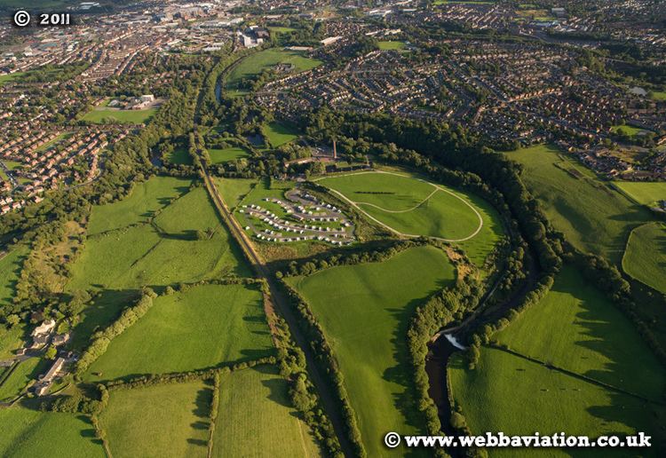
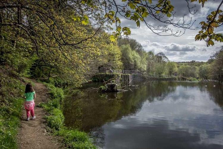
Burrs Country Park covers a 36 hectare (86 acre) site located on the banks of the River Irwell, 1.5km (1 ml) north west of Bury, Greater Manchester. It was acquired by Bury Metroplolitan Borough Council in 1986 and transformed from a derelict industrial site into a modern country park. Access to the park which is open all year round is via Woodhill Road.
Contents
- Official opening of burrs country park station on the elr october 2016
- Description
- Leisure uses
- Access
- Information
- References
Official opening of burrs country park station on the elr october 2016
Description

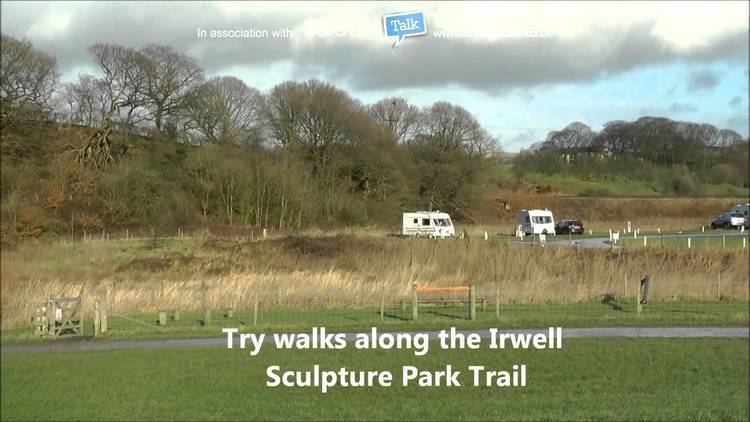
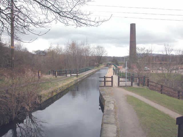
The park covers an area once housing the mill complex of the Burr and Higher Woodhill cotton mills. The old mill remains were in the main removed from the site with certain features of interest left in situ, these include the Burrs Mill chimney, the mill floor and water wheel pit. The park also contains the feeder canal for Elton Reservoir, which is the source of water for the Manchester Bolton & Bury Canal. The site is on the Irwell Sculpture Trail and has three sculptures, 'Waterwheel' by David Kemp, 'Stone Cycle' by Julie Edwards and 'Picnic Area' by David Fryer.The site is also home to the Bury Agricultural Society Show Ground, moved here in 2001 following the loss of the Bury Show Ground. Bury MBC have a Countryside Warden service office located in a mill old cottage on Stock Street. It has been awarded Green Flag accreditation for 2007/08.
Leisure uses
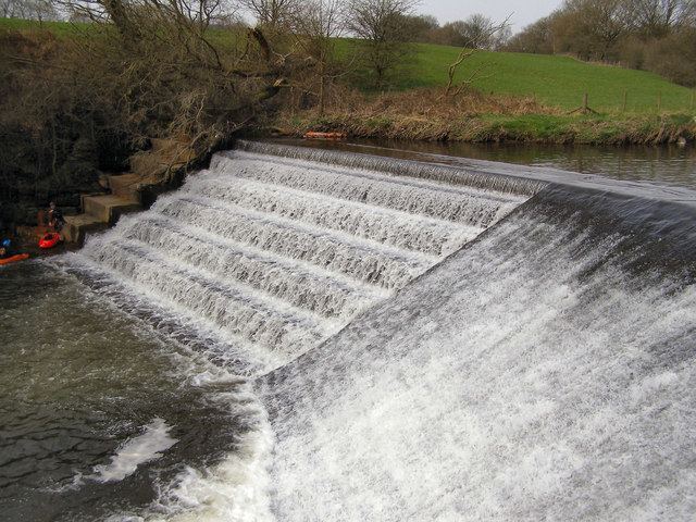
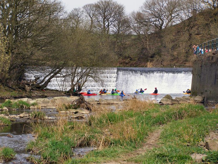
The site boasts many leisure activities including
Access
The park lies on several bus routes from Bury town centre and lies on the route of the East Lancashire Railway. A small railway halt is proposed at the Burrs as part of the railways development programme. The park is easily accessible by car or bicycle from Bury Bridge on the A58 and by footpaths leading from the suburbs of Brandlesholme, to the west, and Walmersley, Seedfield and Limefield to the east.
Information
Bury MBC provide several guides to the area including the Irwell Sculpture Trail, activity Centre, wildlife, fishing and industrial heritage. These are available from Bury MBC at the site or can be downloaded at the Bury MBC website.