
Country United States County Saint Louis Time zone Central (CST) (UTC-6) Elevation 424 m | State Minnesota ZIP code 55731 Local time Tuesday 2:35 AM | |
 | ||
Weather 6°C, Wind SW at 16 km/h, 96% Humidity | ||
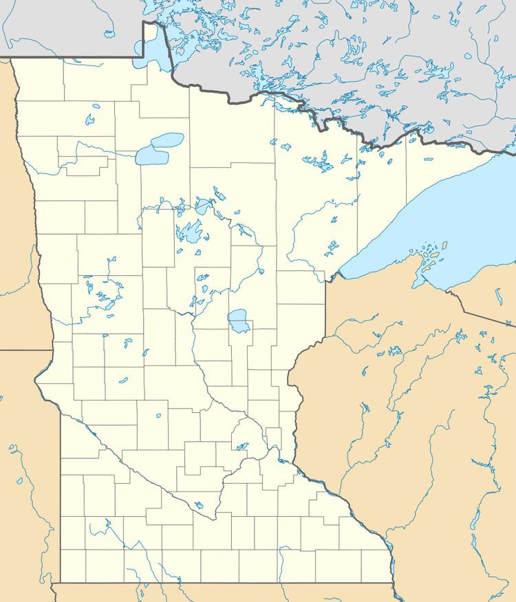
Burntside is an unincorporated community in Morse Township, Saint Louis County, Minnesota, United States.
Map of Burntside, MN 55731, USA
The community is located three miles west of Ely, near the junction of State Highway 169 (MN 169) / State Highway 1 (MN 1), and Saint Louis County Road 88 (Grant–McMahan Boulevard).
Burntside Lake and Shagawa Lake are in the vicinity.
References
Burntside, Minnesota Wikipedia(Text) CC BY-SA