
Country United States ZIP codes 41405 Elevation 274 m | Time zone Eastern (EST) (UTC-5) GNIS feature ID 507625 Local time Tuesday 2:15 AM | |
 | ||
Weather 15°C, Wind S at 13 km/h, 54% Humidity | ||
Burning Fork is an unincorporated community located in Magoffin County, Kentucky, United States. The etymology of Burning Fork refers to a natural gas vein that was ignited and eventually extinguished by 1865.
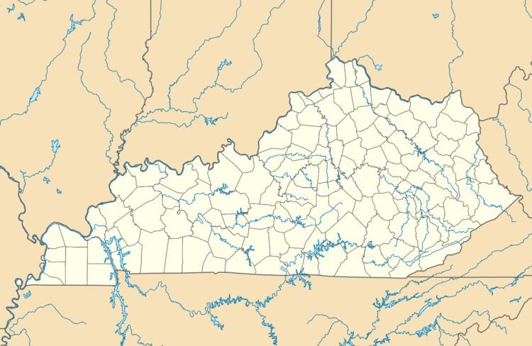
Map of Burning Fork, KY 41465, USA
References
Burning Fork, Kentucky Wikipedia(Text) CC BY-SA