
Incorporated 1806 Elevation 269 m Population 9,301 (2010) | Region Central Connecticut Time zone EST (UTC-5) Zip code 06013 Local time Tuesday 12:04 AM | |
 | ||
Weather -1°C, Wind S at 6 km/h, 63% Humidity | ||
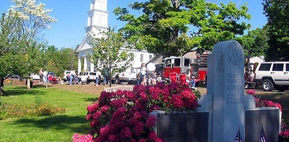
Burlington is a town in Hartford County, Connecticut, United States.
Contents
- Map of Burlington CT USA
- History
- Geography
- Demographics
- Schools
- Notable locations
- Notable residents
- References
Map of Burlington, CT, USA
Situated at the foot of the Berkshires and bordering the Farmington River, Burlington is a scenic hill town, rural in nature, located 20 miles (32 km) west of Hartford. Incorporated in 1806, the population was 9,326 at the 2010 census. Burlington is home to the State of Connecticut Fish Hatchery and the Nepaug Reservoir. Almost half of the land in the town is owned by three public water supply companies and the State of Connecticut.
History
The town was once part of larger Farmington Plantation. In 1785, it split away and was part of Bristol from 1785 until 1806 when Burlington became separate.
Geography
According to the United States Census Bureau, the town has a total area of 30.4 square miles (78.8 km2), of which 29.7 square miles (77.0 km2) is land and 0.66 square miles (1.7 km2), or 2.19%, is water.
Demographics
As of the census of 2010, there were 9,326 people, 3,303 households, and 2,691 families residing in the town. The racial makeup of the town was 96.5% White, 0.6% African American, 0.0% Native American, 1.5% Asian, 0.0% Pacific Islander, 0.5% from other races, and 0.9% from two or more races. Hispanic or Latino people of any race were 2.6% of the population.
There were 3,303 households out of which 40.7% had children under the age of 18 living with them, 71.4% were married couples living together, 6.5% had a female householder with no husband present, and 14.5% were non-families. 18.5% of all households were made up of individuals and 5.5% had someone living alone who was 65 years of age or older. The average household size was 2.82 and the average family size was 3.13.
In the town, the population was spread out with 29.0% under the age of 19, 6.4% from 20 to 29, 10.2% from 30 to 39, 20.6% from 40 to 49, 23.7% from 50 to 64, and 5.4% who were 65 years of age or older. The median age was 42.5 years.
Economic figures for the town include a median income for a household at $105,250, and the median income for a family at $114,544. About 2.3% of families have incomes under $15,000/year and 11.9% of families have incomes over $200,000/year.
Schools
Regional School District #10 serves the Connecticut towns of Burlington and Harwinton and was established in 1962. The four schools of the district, Lewis S. Mills High School, Har-Bur Middle School, Lake Garda School and Harwinton Consolidated School, have a total enrollment of more than 2800 students.