Country Pakistan District Sheikhupura District Elevation 200 m Local time Tuesday 8:30 AM | Tehsil Ferozewala Time zone +05 GMT Area code 0562 | |
 | ||
Weather 17°C, Wind SW at 18 km/h, 72% Humidity | ||
Burj Attari is a town located only 14 km from Lahore at Lahore-Jaranwala Road, Pakistan and 8 km from Shahdara, but it is in the Sheikhupura District, Punjab (Pakistan).
Contents
- Map of Burj Attari Pakistan
- Education
- Government institutes
- Localities
- Nearby towns and villages
- Mobile 3G and 4G Services
- References
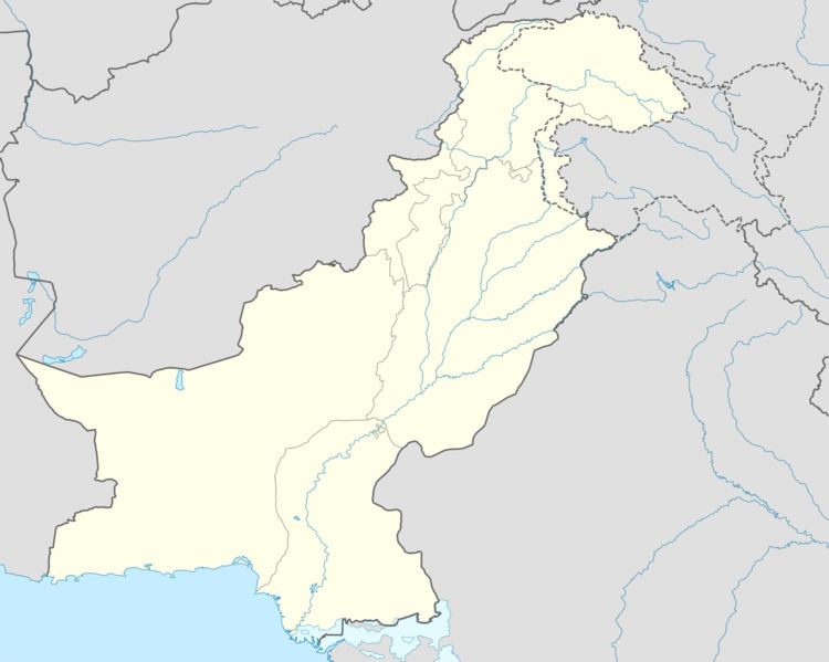
Map of Burj Attari, Pakistan
Burj Attari is famous for agriculture products and fruits like guavas, leechee and strawberries.
Noorewala Road a 6 km long sub-road leads to a small village Noor-e-wala and Khanpur Canal (Bann), further goes village Bansi-Nagar and Battiyanwala (located at Lahore-Shekhupura road) making a total length of 13.2 km. Burj road connects village Burj with the M-2 motorway.
Education
Burj Attari has a number of government and private schools and colleges.
Government institutes
Localities
Nearby towns and villages
Mobile 3G and 4G Services
Telenor, Mobilink and Zong offer 3G services in the town. There is no 4G service is available yet. 2G of all local cellular operators is enabled. PTCL Telephone and Broadband service is also available.
