
Country Bangladesh District Bhola District Postal code 8320 | Division Barisal Division Time zone BST (UTC+6) Area 284.7 km² | |
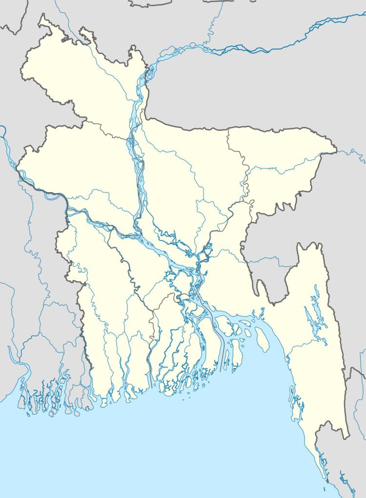 | ||
Website Official Map of the Borhanuddin Upazila | ||
Borhanuddin (Bengali: বোরহানউদ্দিন ) is an Upazila (or sub-district) of Bhola District in the Division of Barisal, Bangladesh.
Contents
Map of Borhanuddin Upazila, Bangladesh
Geography
Borhanuddin is located at 22.5000°N 90.7217°E / 22.5000; 90.7217 . It has 37,413 households and a total area of 284.67 km².
Demographics
According to the 1991 Bangladesh census, Borhanuddin had a population of 208,478. Males constitute 51.13% of the population, and females 48.87%. The population aged 18 or over was 94,581. Borhanuddin had an average literacy rate of 21.2% (7+ years), compared to the national average of 32.4%.
Administration
Borhanuddin has 9 Unions/Wards, 57 Mauzas/Mahallas, and 52 villages.
References
Burhanuddin Upazila Wikipedia(Text) CC BY-SA