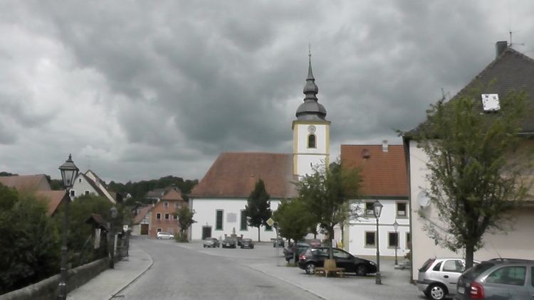
Admin. region Mittelfranken Postal codes 96152 Population 2,489 (31 Dec 2008) Postal code 96152 | Time zone CET/CEST (UTC+1/+2) Area 44.02 km² Local time Tuesday 3:18 AM Dialling code 09552 | |
 | ||
District Neustadt a.d.Aisch-Bad Windsheim Weather 3°C, Wind W at 13 km/h, 90% Humidity | ||
Burghaslach is a municipality and a market town in the district of Neustadt (Aisch)-Bad Windsheim in Franconia in Bavaria, Germany.
Contents
- Map of Burghaslach Germany
- Geography
- Geographical Location
- Districts
- Placename
- History
- Politic
- Council
- Traffic
- References
Map of Burghaslach, Germany
Geography
Neighbouring municipalities to Burghaslach are Geiselwind, Schlüsselfeld, Vestenbergsgreuth, Markt Taschendorf, Scheinfeld and Oberscheinfeld.
Geographical Location
Burghaslach is between Würzburg and Nürnberg. It is accessible by slip road 77 of the Bundesautobahn 3
Districts
The municipality is composed of 16 districts:
Placename
The name Burghaslach is derived from the German Burg what means castle and Haslach, a local river.
History
Burghaslach was independent from 1136.
In 1806, Burghaslach became a part of the Kingdom of Bavaria.
Politic
The mayor of Burghaslach is Armin Luther.
Council
The membership of the council is distributed as follows:
Traffic
The market is near the Bundesautobahn 3 Würzburg - Nürnberg slip road 77 Schlüsselfeld.
The ADAC declared the truck stop at Burghaslach as the winner of the 2008 European Service Area Competition. The truck stop was rated "very good" in five of nine categories. Among a total of 65 checked service areas in Germany, Austria, Italy, France and Switzerland the truck stop at Burghaslach came in first.
