
Population 182 (2011 census) Postcode district IP13 6 Local time Tuesday 2:17 AM | Sovereign state United Kingdom | |
 | ||
Weather 3°C, Wind W at 13 km/h, 85% Humidity | ||
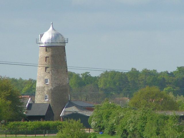
Burgh (/ˈbɜːrɡ/) is a village and civil parish in the Suffolk Coastal district of Suffolk, England, about 3.5 miles (6 km) north-west of Woodbridge.
Map of Burgh, UK
St. Botolph's church stands near the site of a Roman villa that stretches towards Clopton churchyard. It dates from the 14th century and is a grade II* listed building. The body of Saint Botolph is supposed to have lain in the church until 680, when it was removed by monks from the abbey at Bury St Edmunds.
The population of Burgh is about 200, measured at 182 at the 2011 census. Because of its small size, there is no parish council, and no parish rate is levied. Instead, there is a Parish Meeting to which all villagers are invited. This meeting occurs two or three times a year. During these meetings, residents are welcome to discuss the issues, problems, concerns and affairs of the village.
Several artists and craftsmen live and work in the village.
The neighbouring village of Grundisburgh and the towns of Woodbridge and Ipswich provide shops and all business and commercial services.