
- location Amur River Discharge 940 m³/s Mouth Amur River | Length 623 km Basin area 70,000 km² Country Russia | |
 | ||
- average 940 m/s (33,196 cu ft/s) - max 18,100 m/s (639,195 cu ft/s) | ||
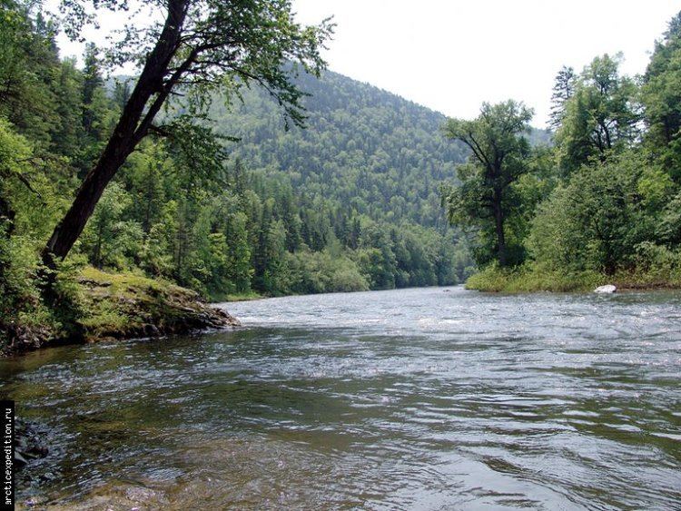
The Bureya River (Russian: Бурея) is a 623-kilometre (387 mi) long south-flowing tributary of the Amur River. Its name comes from the Evenk word birija, meaning river. It is formed from the junction of the Pravaya (right) Bureya and the Levaya (left) Bureya.
Contents
Map of r. Bureya, Khabarovskiy Kray, Russia
DescriptionsEdit
Its basin is bounded by: west: Turana Range and Zeya River, south: Amur River, east: Bureinskiy Range, Urmi River and Amgun River, north: Ezop Range and several rivers that flow northeast into the Sea of Okhotsk.
There are no cities on the river, the largest settlements on the river are Novy Urgal on the Baikal Amur Mainline and, Novobureysky and Bureya, both on the Trans-Siberian Railway. The Tyrma River is a left branch that crosses the railway south from Novy Urgal at the town of Tyrma. The Chegdomyn coal fields are north of Novy Urgal. The Bureya hydro power plant holds back middle stream of the river and mitigates extremal surge events during summer rainy seasons. Currently the project of Lower Bureya hydro power plant is under preliminary investigations and preparatory works. M58 highway (Russia) crosses it on a ferry.