
Population (2014) 612 Area 9.87 km² | Time zone CET (UTC+1) | |
 | ||
Arrondissement | ||
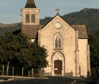
Burdignin is a commune in the Haute-Savoie department in the Auvergne-Rhône-Alpes region in south-eastern France.
Contents
Map of 74420 Burdignin, France
Basic
Burdignin is a common medium mountain located in the heart of the Green Valley, north of the department of Haute Savoie. Burdignin depends on the canton of Boëge and is part of the Chablais Alps but is also close to the Geneva area .
Burdignin has preserved an agricultural and forestry tradition. This quiet little village allows mountain biking ( forest track and edges Menoge ), but also hiking ( snowshoeing in winter the peaks between Mont Blanc and Lake Geneva ) . The people are bornérandes and bornérands .
Surroundings
Burdignin is easily accessible by road, just 15 minutes from the motorway ATMB (exit Green Valley )
By Distance
By Time
Burdignin in numbers
References
Burdignin Wikipedia(Text) CC BY-SA